
- This event has passed.
Lay of the Land
March 14, 2020 @ 10:00 am - February 28, 2021 @ 5:00 pm
You are here! This interactive exhibition will orient visitors in time and place through an installation of maps, spanning time immemorial to present day. Lay of the Land invites all visitors to understand our complex relationship to the land, past and present, and to the place that we now call Guelph.
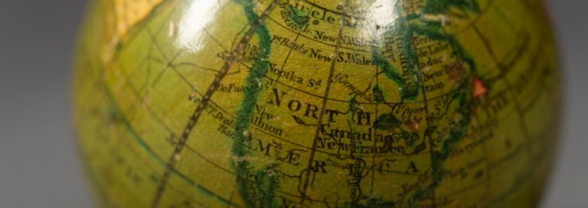
Cartography is the art, science, and technology of making maps, plans, charts, and globes. The earliest surviving map, drawn on a clay tablet found in the Middle East, dates to 2300 BCE. The earlier known maps of Canada were created by European explorers, seeking to find and secure trade routes to the Asian continent. Dated from about 1502 to 1506, those maps depict the east coast of Newfoundland as an island in the North Atlantic.
Mapmaking was a well-developed practice among Indigenous peoples in what is now Canada. Indigenous navigational maps were drawn on impermanent materials, accompanied by verbal descriptions and committed to memory. Lakes, rivers, and shorelines on most Indigenous maps differ from modern survey maps. Scale, however, was often measured by time (such as a day’s journey) and landmarks were accentuated to aid travellers.
“Lay of the land” is a turn of phrase. It is a reference to the arrangement of features on the land, as well as a metaphor for the current state of affairs. The exhibition, Lay of the Land, employs both meanings in recognition of our unique connections to places we call home.
Indigenous Peoples Atlas of Canada
The exhibition features the Indigenous Peoples Atlas of Canada (IPAC) floor map. It is on loan from Kids Can Press, Canadian Geographic and the Royal Canadian Geographical Society (RCGS).
The IPAC floor map is a resource that can assist our understanding of the past, present and future of Indigenous Peoples in Canada. It represents a diversity of stories and voices. The RCGS worked with Indigenous and ally educators and with organizations across Canada to create the map.
Visit Indigenous Peoples Atlas of Canada for more information about the map and for learning activities.

Related Events:

History Bites: Lay of the Land
Wednesday, February 17, 12 p.m.
Guelph Museums curator Dawn Owen will be chatting about current exhibit, Lay of the Land. The exhibition orients visitors in time and place through an installation of maps, spanning time immemorial to present day. Lay of the Land invites all visitors to understand our complex relationship to the land, past and present, and to the place that we now call Guelph.
